Ride the Tide with Confidence

Join us as we explore tide timetables and safe causeway crossings for Britain’s tidal islands. Learn to read official tables, spot warning signs, plan generous margins, and enjoy storied walks and drives without drama, respecting weather, wildlife, locals, and history along every shimmering approach while protecting yourself, your companions, and the irreplaceable places that make these journeys unforgettable.

Reading the Sea’s Clock

Understanding how the ocean keeps time transforms guesswork into calm, informed decisions. By interpreting printed and digital predictions, you can anticipate when submerged roads reappear, how long they stay usable, and when the swift return of water may outpace even the most confident walker or driver, especially where channels deepen, cambers tilt, and flood-tide currents concentrate around dips and bends.

A Conservative Timing Plan

Build a plan that would still work if traffic stalls, a child needs a pause, or headwinds slow progress. Aim to set off well within the identified safe window, leaving abundant time for return or waiting. If timings are advisory, choose caution by adding extra buffer before predicted cut‑off, and remember that low pressure, swell, and onshore winds can narrow your real window unexpectedly.

Reading Signs, Posts, and Refuges

Many approaches display boards with green or red indicators, council timetables, and caution notes. Depth posts, painted studs, and tide bells hint at typical flood reach. Some routes include refuge boxes or raised platforms for emergencies, which must never substitute for planning. If signs conflict with your timetable or conditions feel wrong, trust the most conservative signal and wait without hesitation.

Walking Versus Driving

Foot travelers can pivot quickly, yet they also misjudge speed and chill more easily in wind and spray. Drivers enjoy shelter but risk engine damage, floating loss of control, and saltwater corrosion. Choose the gentler option for the day’s conditions, keep lights on, slow down over wet algae or sand, and refuse any move into flowing water. The shortest route is patience itself.

Lindisfarne, Northumberland

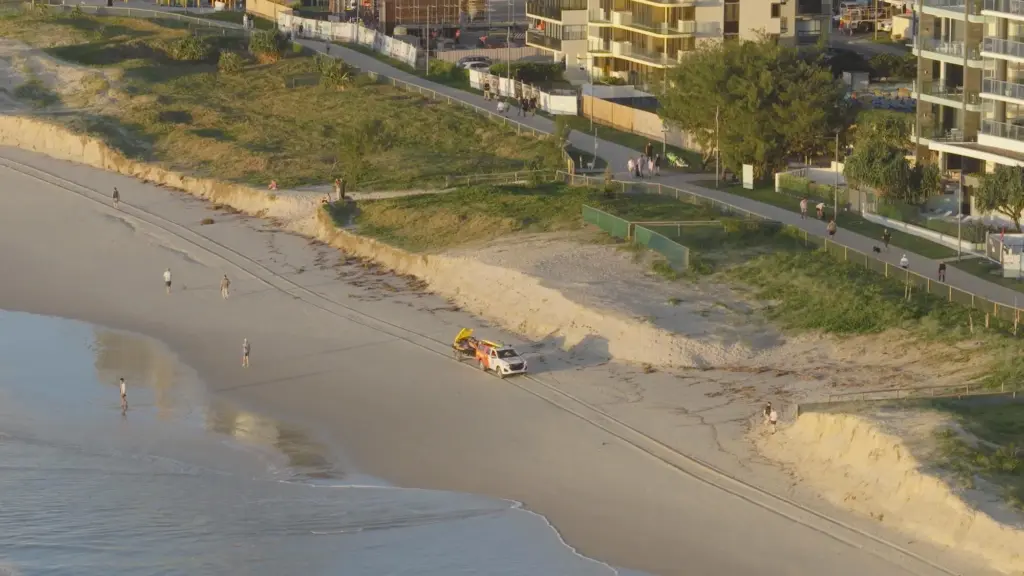
This evocative road over shimmering sands rewards early arrivals who double‑check council notices and watch actual water levels beside the causeway markers. Stories of stranded cars highlight how quickly the flood returns across low cams. Treat safe‑time boards as minimum guidance, build extra margin for wind, and take time to notice birdlife skimming channels that refill long before the whole road disappears.

St Michael’s Mount, Cornwall

A cobbled way emerges like a spell from Marazion’s shore, then drowns again under a glittering skin of water. Staffed advice and local boards guide visitor flows, but your best friend remains observation and patience. Swell and onshore breezes can shorten the usable window even on clear days. Pause to watch eddies nudge seaweed strands, revealing the true pace of the returning tide.

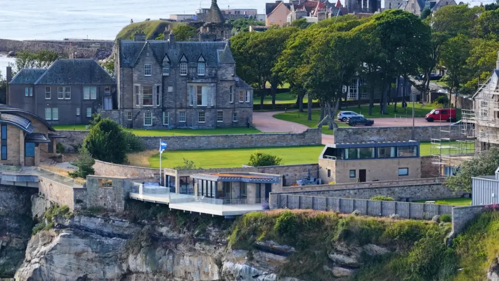
Cramond and Northern Pathways

The long walkway to Cramond Island is famous for its tidal posts, yet many underestimate how abruptly the Firth of Forth floods the channel. Consult published advice carefully, note the recommended return deadline, and track your pace. Similar lessons echo on Hilbre, Burgh, and other routes: when the first channels fill, your escape narrows rapidly, and waiting ashore becomes the bravest, safest choice.

Wind and Pressure Can Rewrite Expectations

An onshore blow can raise levels and push chop across depressions, while persistent offshore winds may delay flood yet expose unpredictable channels. Low pressure nudges sea level upward; high pressure can suppress it slightly. None of these effects obey timetables neatly. Incorporate them by assuming narrower windows, moving earlier, and refusing to treat a predicted low as guaranteed safe exposure everywhere.

Visibility, Darkness, and Attention

Fog erases horizon cues; dusk hides gleaming film that betrays rapid shallowing; glare at midday masks ripples rushing inland. Headtorches, reflective clothing, and slow, deliberate progress help, but the strongest advantage is daylight aligned with generous timing. Reduce distractions, keep children close, and assign a lookout to watch waterlines and posts, calling halts calmly if anything shifts faster than expected.

Trusted Tools and Local Knowledge

Combine authoritative data with lived experience. Official tide predictions, council notices, and on‑site boards set the frame; apps, offline maps, and GPX tracks refine timing and navigation. Yet the most valuable insights often come from rangers, ferry staff, lifeboat volunteers, and long‑time residents whose quiet observations reveal how today’s wind and swell modify an otherwise ordinary set of numbers.
Consult official tide tables and trusted publishers, then check council or estate websites that publish recommended crossing windows for specific routes. On the ground, read signage carefully and look for recent updates posted by wardens. Pair predictions with Ordnance Survey mapping to understand contours and channels. When sources disagree, side with the most cautious interpretation and verify by watching the waterline itself.
Download tide data and maps for offline use, carry a power bank, and protect your phone in a waterproof pouch. Save key numbers and local advice pages. Mark turnaround points on an offline map or GPX track. Redundancy beats optimism: two independent sources, written notes, and a visible plan keep everyone aligned when signal drops or a sudden squall demands immediate reassessment.

Respect, Conservation, and Community

These crossings thread through habitats where birds feed, seals rest, and delicate plants bind shifting sands. Choices that keep you safe also protect wildlife and reduce strain on rescue teams. Move quietly, follow marked routes, avoid blocking access, and take litter home. Safety is community care in action, preserving precious places so tomorrow’s visitors inherit the same wonder you enjoyed today.